
Industry / VR · Industry
GisInVR
3D visualization and virtual reality application for geospatial simulation and industrial decision support.
View in the 3D plan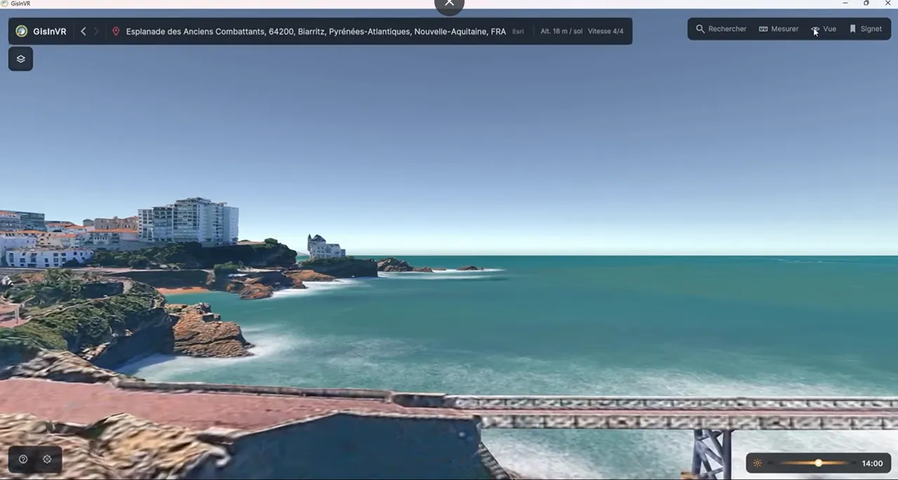
Geospatial data in 3D
GisInVR provides three-dimensional and virtual reality visualization of geospatial data. The application supports simulation and industrial decision-making, allowing information to be explored within a spatial environment.
Geospatial data connects information with places and their arrangement in space. A three-dimensional representation makes that spatial organization available for visual exploration. GisInVR combines this approach with virtual reality in an industrial context. This project page presents the visualization concept and the immersive platform, alongside the reference website for readers who want to explore it further.
Visit the reference websiteDeveloping an immersive project?
I support the design, prototyping and development of Unity and WebGL applications. Based in Bayonne, France, I also work remotely, from initial scoping to technical direction.